Authorities continue to update Tropical Cyclone Alfred’s expected landfall time as millions of Australians brace for its terrible impact.
Gold Coast residents and those in specific areas of Brisbane and North East NSW have now been issued emergency warnings to take shelter.
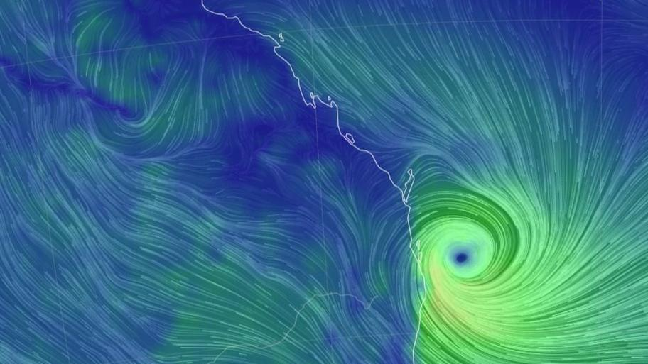
According to the Bureau of Meteorology’s (BOM) latest tracking map, the category 2 system will continue to “move slowly towards the southeast Queensland coast”, and is predicted to cross land on Saturday morning.
Wind gusts of up to 155km/h can be expected as Alfred’s “destructive core” approaches the coast.
Heavy to locally intense rainfall may lead to dangerous and life-threatening flash flooding.

A danger zone is in place from Double Island Point in Queensland, north of Noosa, to north of Grafton in New South Wales, including Brisbane, Gold Coast, Sunshine Coast, Byron Bay and Ballina.
Read on for further updates.
Read related topics:Brisbane